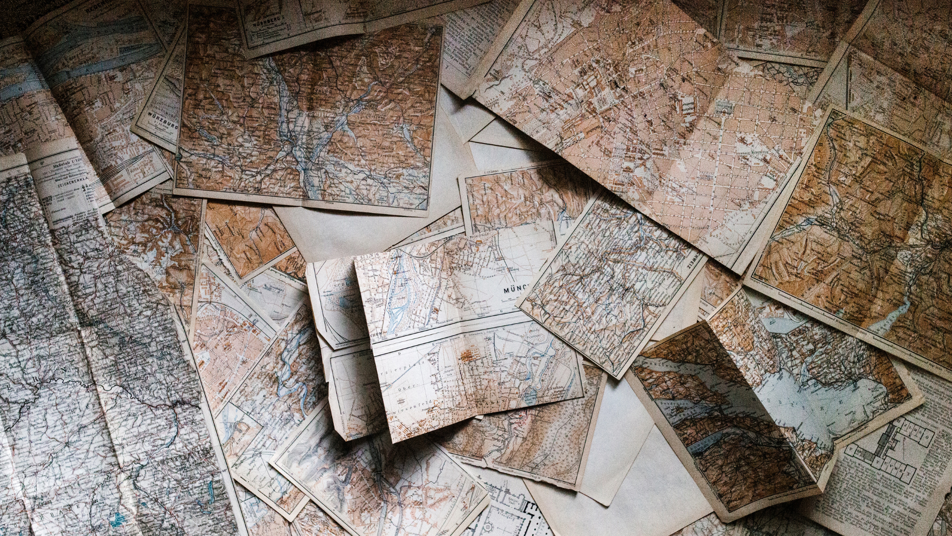
Target groups
Open to all students at master level or above and employees at the University of Oslo, although primarily meant for students and researchers in the humanities and social sciences.
Learning outcomes
After attending this workshop, you will be able to work with non-digital maps in QGIS, and especially historical maps. You will learn how to:
-
Georeference a map (associate it with the right coordinates)
-
Create layers in QGIS to add your own points, lines or shapes
-
Copy information from a scan of an existing map, so you can reuse it in your own map
Prior knowledge and implementation
To participate in this workshop, you must have basic knowledge of QGIS: how to create a project, import and display data, export a map.
You can gain such knowledge on your own or by taking the introduction to digital cartography and QGIS course at the library. There will be such a course during the 2025 fall semester.
Working methods
Demonstration with practical examples and exercises. Instruction will be in English, unless everyone is competent in Norwegian, and we can also answer questions in Norwegian.
Practical information
- Please bring your laptop with QGIS installed, ideally version 3.40.5.
- Prepare a folder for this QGIS course on your computer/cloud drive.
- Place in this folder the historical maps you want to work with, as well as these two maps: (Link will come before the workshop).
- During the workshop, we will first learn together on these maps, then there will be time for you to start using your own maps.
Many libraries and archives let you download historical maps, for instance the Library of Congress or the National library of France. Many of the maps digitized by the national library of Norway can also be downloaded, but usually only as a pdf. You should download .jpeg or .tiff files if you can. I do not recommend using .pdf files for this, I will explain why and how to use them if one has no choice.
If any of this is unclear, you can also contact alexandre.simon@ub.uio.no before the workshop.